
Datei:Germany location map.svg

Originaldatei (SVG-Datei, Basisgröße: 1.073 × 1.272 Pixel, Dateigröße: 452 KB)
Beschreibung
| Beschreibung |
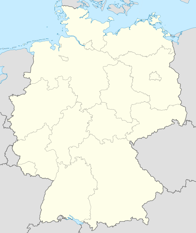
Quadratische Plattkarte, N-S-Streckung 150 %. Geographische Begrenzung der Karte:
Equirectangular projection, N/S stretching 150 %. Geographic limits of the map:
Français : Carte de l'Allemagne |
||
| Datum | |||
| Quelle | Eigenes Werk, using United States National Imagery and Mapping Agency data | ||
| Urheber | NordNordWest | ||
| Andere Versionen |
Abgeleitete Werke dieser Datei:
Bundesrepublik Deutschland (vor 1990 nur West-Deutschland):
Deutsche Demokratische Republik (mit BRD im Ausschnitt):
Ostdeutschland (vor 1990 Deutsche Demokratische Republik):
Deutschland zwischen Mai 1945 und Oktober 1949:
Thematisch:
Deutsches Reich (1918–1945) (best used with this template (de)):
|
||
| SVG‑Erstellung | Diese W3C-invalide Landkarte wurde mit Adobe Illustrator erstellt.
|


_23_May_1949_-_6_Oct_1949.svg)


_location_map.svg)
_location_map_2013.svg)


_location_map.svg)
Lizenz

|
Es ist erlaubt, die Datei unter den Bedingungen der GNU-Lizenz für freie Dokumentation, Version 1.2 oder einer späteren Version, veröffentlicht von der Free Software Foundation, zu kopieren, zu verbreiten und/oder zu modifizieren; es gibt keine unveränderlichen Abschnitte, keinen vorderen und keinen hinteren Umschlagtext.
Der vollständige Text der Lizenz ist im Kapitel GNU-Lizenz für freie Dokumentation verfügbar. |
- Dieses Werk darf von dir
- verbreitet werden – vervielfältigt, verbreitet und öffentlich zugänglich gemacht werden
- neu zusammengestellt werden – abgewandelt und bearbeitet werden
- Zu den folgenden Bedingungen:
- Namensnennung – Du musst angemessene Urheber- und Rechteangaben machen, einen Link zur Lizenz beifügen und angeben, ob Änderungen vorgenommen wurden. Diese Angaben dürfen in jeder angemessenen Art und Weise gemacht werden, allerdings nicht so, dass der Eindruck entsteht, der Lizenzgeber unterstütze gerade dich oder deine Nutzung besonders.
- Weitergabe unter gleichen Bedingungen – Wenn du das Material wiedermischst, transformierst oder darauf aufbaust, musst du deine Beiträge unter der gleichen oder einer kompatiblen Lizenz wie das Original verbreiten.
Dateiversionen
Klicke auf einen Zeitpunkt, um diese Version zu laden.
| Version vom | Vorschaubild | Maße | Benutzer | Kommentar | |
|---|---|---|---|---|---|
| aktuell | 14:51, 16. Sep. 2013 | | 1.073 × 1.272 (452 KB) | SokoWiki | Clearer borders. |
| 10:34, 16. Sep. 2013 |  | 1.073 × 1.272 (452 KB) | NordNordWest | Reverted to version as of 12:32, 2 October 2012; didn't make anything better | |
| 10:34, 16. Sep. 2013 |  | 1.073 × 1.272 (452 KB) | NordNordWest | Reverted to version as of 12:32, 2 October 2012; didn't make anything better | |
| 22:08, 15. Sep. 2013 |  | 1.073 × 1.272 (451 KB) | SokoWiki | * | |
| 14:32, 2. Okt. 2012 |  | 1.073 × 1.272 (452 KB) | Palosirkka | Reverted to version as of 20:14, 5 August 2012 Location maps must remain very accurate | |
| 07:40, 2. Okt. 2012 |  | 1.073 × 1.272 (396 KB) | Palosirkka | Scrubbed with http://codedread.com/scour/ | |
| 22:14, 5. Aug. 2012 |  | 1.073 × 1.272 (452 KB) | NordNordWest | upd | |
| 12:03, 19. Jan. 2010 |  | 1.073 × 1.272 (490 KB) | NordNordWest | update | |
| 10:33, 22. Jul. 2009 |  | 1.075 × 1.273 (608 KB) | NordNordWest | c | |
| 16:36, 13. Okt. 2008 |  | 1.075 × 1.273 (606 KB) | NordNordWest |
Dateiverwendung
Die folgenden 17 Seiten verwenden diese Datei:
- Benutzer:(WV-de) Uptojoe/Infohalle4
- Benutzer:(WV-de) Uptojoe/horizontal
- Benutzer:(WV-de) Uptojoe/horizontal aufklappbar
- Benutzer:DerFussi/X-File 1x01
- Benutzer:Hansm/Infohalle1
- Benutzer:Hansm/Infohalle1a
- Benutzer:Hansm/Infohalle1b
- Benutzer:Hansm/Infohalle1c
- Benutzer:Hansm/Infohalle2
- Benutzer:Hansm/Infohalle2a
- Benutzer:Hansm/Infohalle3
- Benutzer:Hansm/Infohalle3a
- Benutzer:Hansm/Infohalle4
- Benutzer:Hansm/Zeux/Chicago
- Hilfe:Positionskarten
- Modul:Location map data de
- Modul:Location map data de/Doku
Globale Dateiverwendung
Die nachfolgenden anderen Wikis verwenden diese Datei:
- Verwendung auf af.wikipedia.org
- Verwendung auf als.wikipedia.org
- Weil der Stadt
- Schopfheim
- Rheinfelden (Baden)
- Rümmingen
- Lörrach
- Kehl
- Steinen (Baden)
- Weil am Rhein
- Bad Säckingen
- Freiburg im Breisgau
- Schwörstadt
- Augsburg
- Zell im Wiesental
- Maulburg
- Offenburg
- Ötigheim
- Hamburg
- Renchen
- Konstanz
- Furtwangen im Schwarzwald
- Görwihl
- Ebringen
- Müllheim im Markgräflerland
- Pfaffenweiler
- Calw
- Au (Breisgau)
- Merzhausen
- Sölden (Schwarzwald)
- Schallstadt
- Bollschweil
- Ehrenkirchen
- Wittnau (Breisgau)
- Vörstetten
- Achern
- Wehr (Baden)
- Vogtsburg im Kaiserstuhl
Weitere globale Verwendungen dieser Datei anschauen.